


- Home
- Grapegrowing & Winemaking
- Tools & guides
- Data tools for growers & makers
- Wine Geographical Indications Dashboard
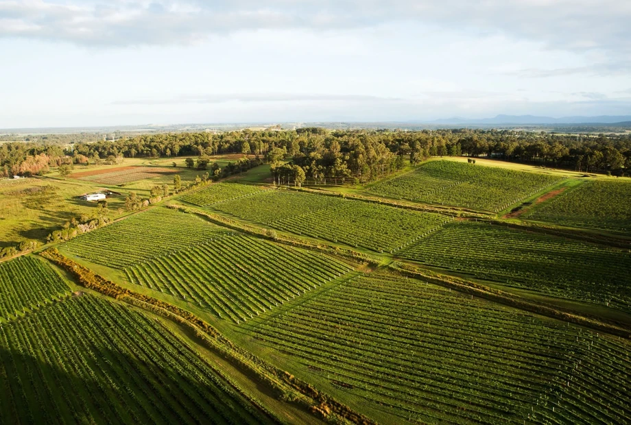
Wine Geographical Indications Dashboard
An interactive map that allows you to explore Australia’s wine geographical indications (wine regions), look up statistics about each region, view vineyard locations and print maps.
About the GI dashboard
The geographical indication (GI) boundaries are defined by legislation and entered in the Register of Protected Geographical Indications and other terms, which is maintained by Wine Australia. The vineyard locations are based on the National Vineyard Scan 2020 conducted by GAIA on behalf of Wine Australia.