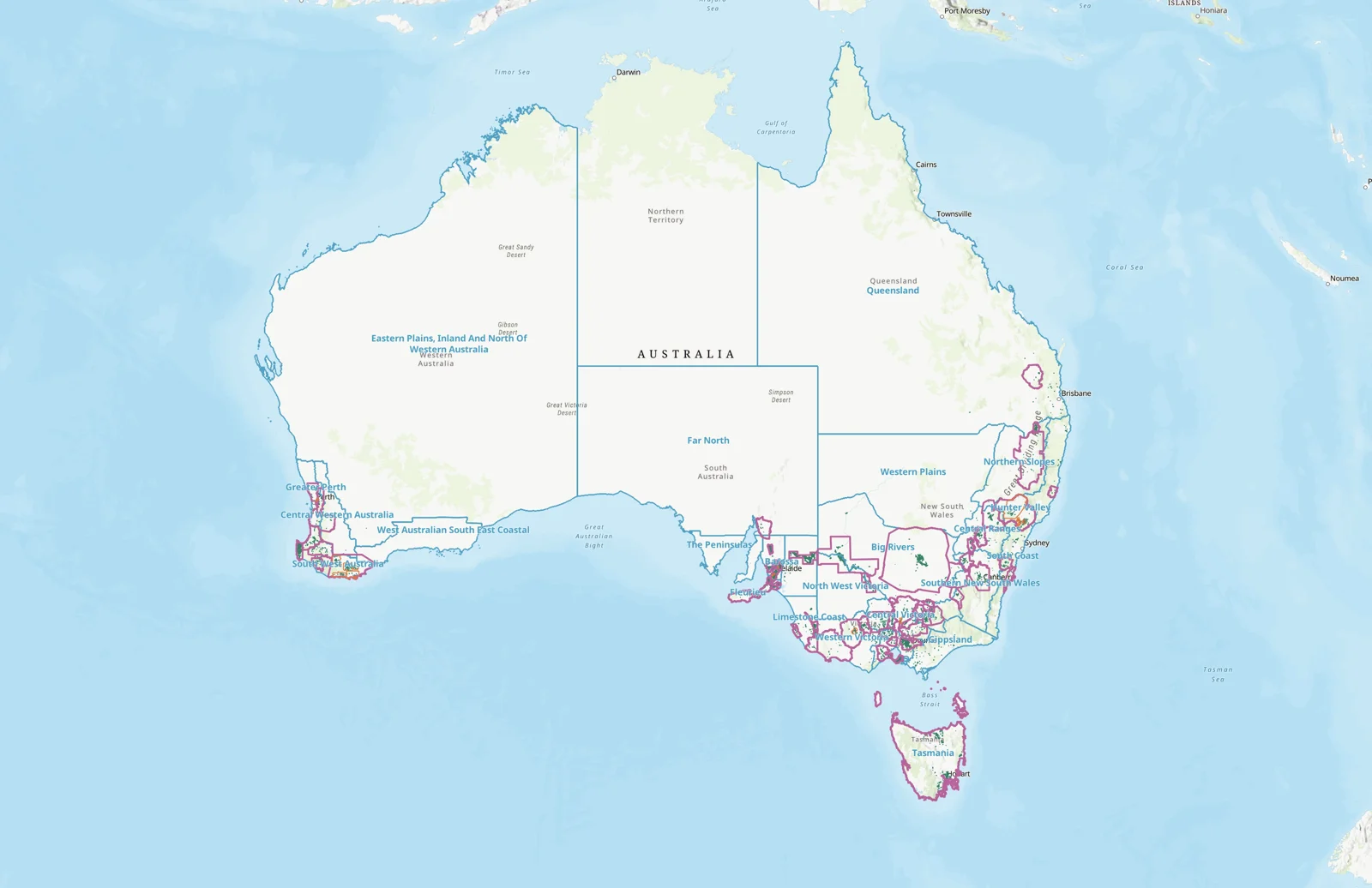
GI textual Description
The Geographical Indication "Riverland" is located within the zone "Lower Murray", within the State of South Australia, Australia.
The beginning point of the boundary is situated on Map Renmark (Sheet SI 54-10) at 139°35’E 34°00’S, being the north west corner of the region, then proceeds east in a straight line to 140°00’E 34°00’S, then proceeds south in a straight line to 14°00’E 34°08’S, then proceeds east in a straight line to 140°38’E 34°08’S, then proceeds north in a straight line to 140°38’E 34°02’S, then proceeds east to the South Australia Victoria border at 140°57.8’E 34°02’S, then proceeds south along the South Australia Victoria border to 140°57.8’E 34°20’S, then proceeds west in a straight line to 140°45’E 34°20’S, then proceeds south in a straight line to 140°45’E 34°30’S, then proceeds west in a straight line to 140°15’E 34°30’S, then proceeds north in a straight line to 140°15’E 34·15’S, then proceeds west in a straight line to 139·40’E 34°15’S, then proceeds south in a straight line to 139°40’E 34°21’S, then proceeds west in a straight line to 139°35’E 34°21’S, then proceeds north in a straight line to 139°35’E 34°00’S, which is the descriptor starting point.