
Skip to main navigation Skip to main content

This site uses cookies

We use cookies and other tracking technologies to improve your browsing experience on our website.

Great Southern Geographical Indication

The Australian Geographical Indication "Great Southern" was entered in the Register of Protected Names on 30 October 1996 in response to a direction received by the Registrar from the Presiding Member of the Geographical Indications Committee acting under Section 40Z of the WAC Act 1980.

GI textual description

The Geographical Indication namely the region Great Southern is located within the Geographical Indication "South West Australia" within the State of Western Australia.

Starting at the low water mark on the South Coast at the point shown as Long Point, grid reference MG6123; 116* 34’ longitude, 35* 02’ latitude, travel in a straight line north and slightly east to the point on Terrace road grid reference MH8119; 116* 48’ longitude, 34* 08’ latitude is reached; thence turn right and proceed due east in a straight line until the point on Road Number M1, Albany to Lake Grace Road, sometimes shown as Chester Pass Road, where the road crosses the Pallinup River, grid reference PH1419; 118* 15’ longitude, 34* 08’ latitude; turn right and proceed south-east in a straight line until the point where the Pallinup River meets the Southern Ocean grid reference PG7584; 118* 54’ longitude, 34* 28’ latitude, turn right on the low water mark and proceed in a generally west and south direction following the coast along the Southern Ocean until the starting point is reached.

Map and digital boundary files

The Geographical Indications of Australia boundaries (Wine Zones, Regions and Subregions) can be viewed in our interactive GI dashboard and can also be downloaded for use in GIS/mapping applications from the Wine Australia Open Data Hub. 

Please note: the maps are translations of the textual descriptions into a spatial format. The textual description is the legal definition.
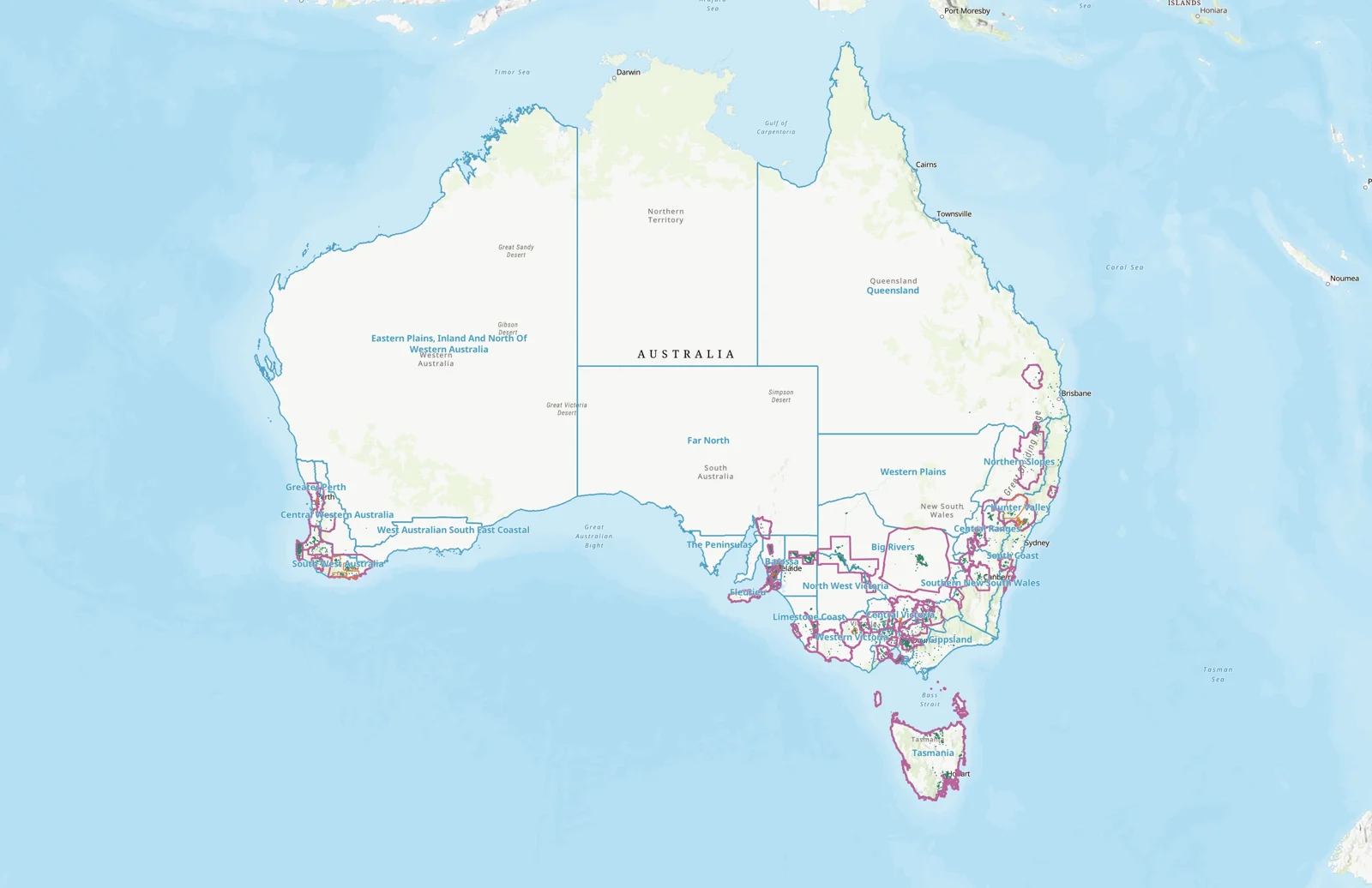
Map of Australian Geographical Indications

Source maps for locating GI area boundaries

Natmaps Series 1501, Edition 1, numbers S1 50-10 Pemberton, S1 50-11 Mt Barker, S1 50-12 Bremer Bay, S1 50-14 Irwin Inlet, S1 50-15 Albany; scale 1:250,000.

Member content

This content is restricted to wine exporters and levy payers.

Reports are also available for one-off purchase to non-members.

Click here to find out more.